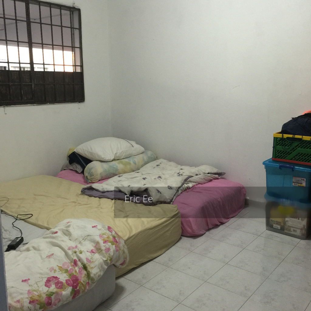
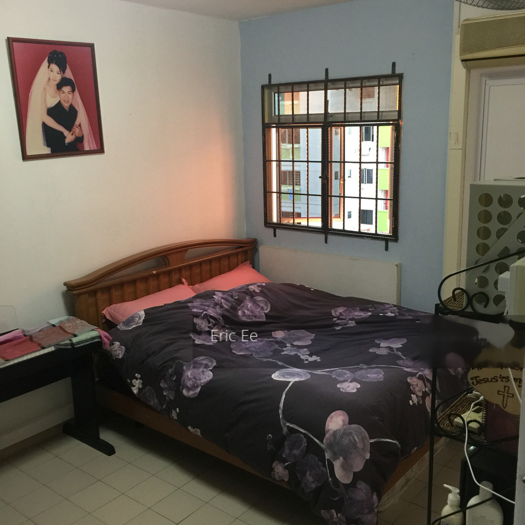
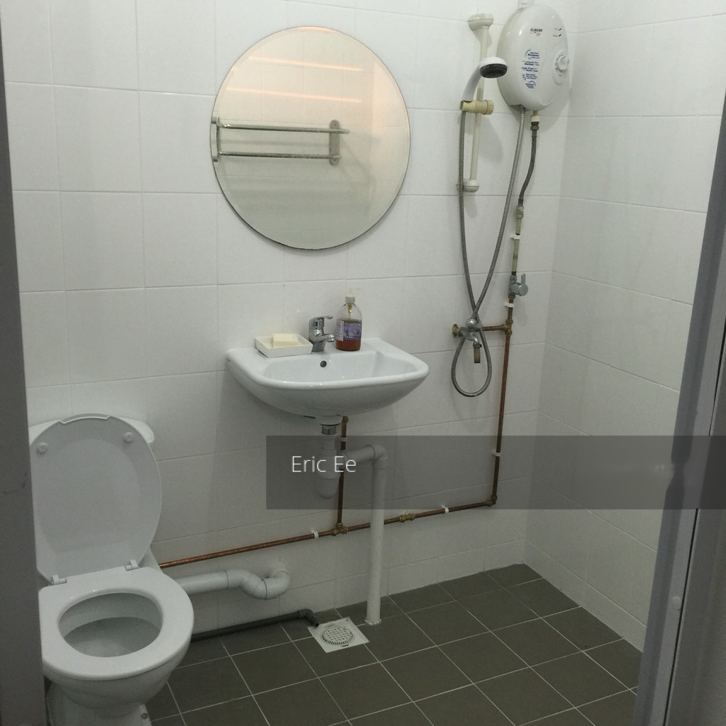
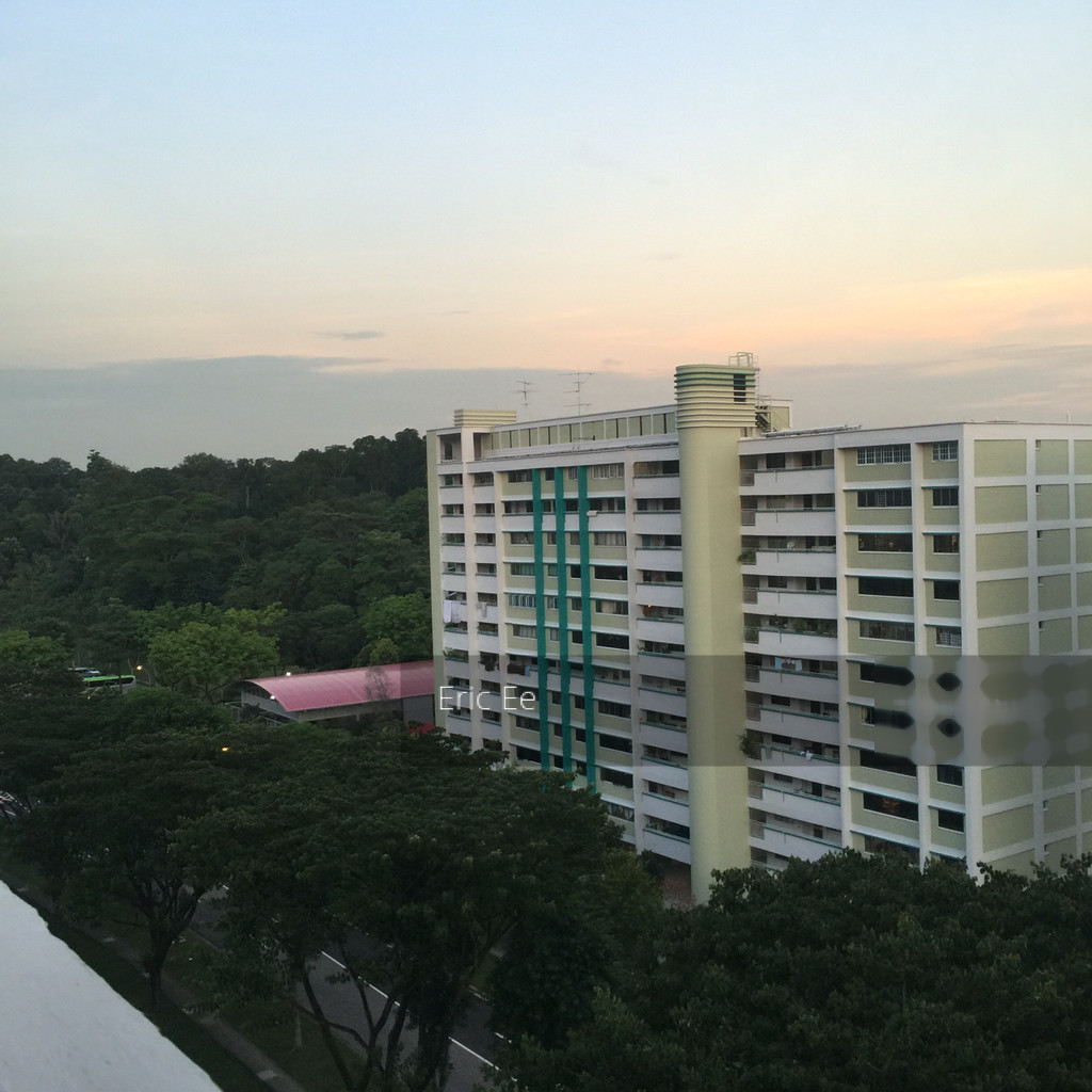
New List
High Floor
Unblock
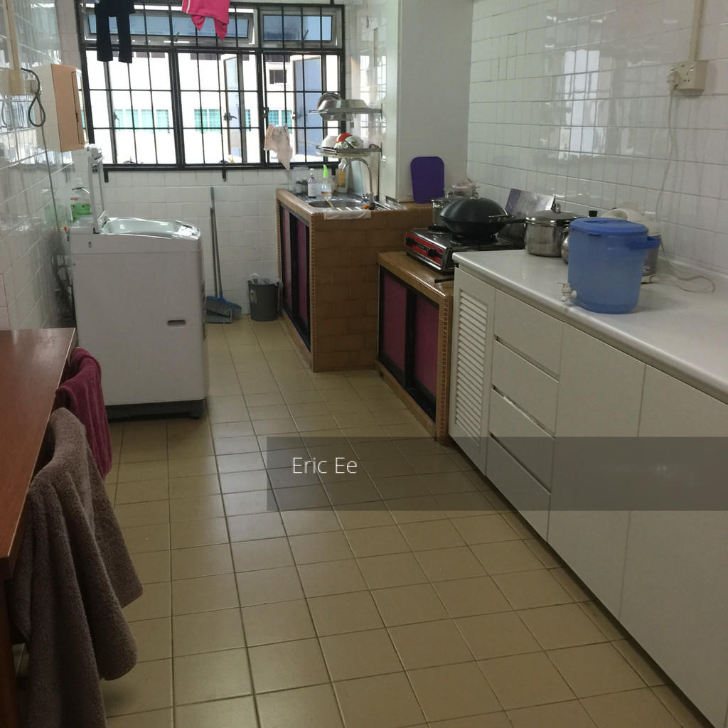
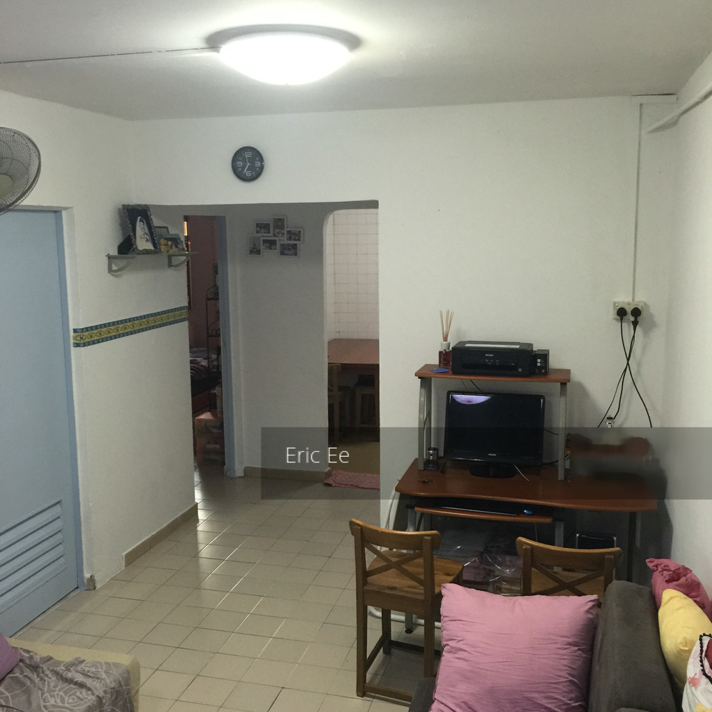
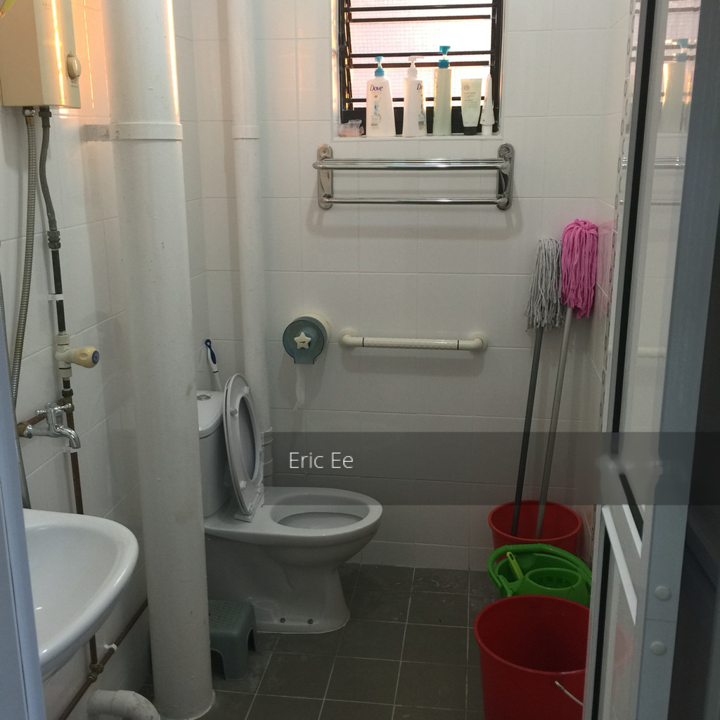
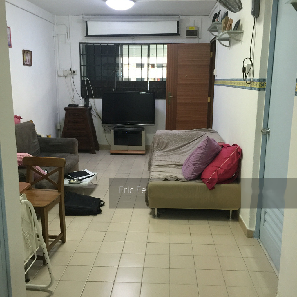
HIP just completed
Chinese Owner
Ask $310k only
Bukit Batok /bukɪt ˈbɑːtɒk/ (Chinese: 武吉巴督, Tamil: புக்கிட் பாத்தோக்), also known as either Bukit Batok New Town or Bukit Batok Town, and often abbreviated as Bt. Batok, is a planning area and matured residential town straddling along the eastern boundary of the West Region of Singapore. Bukit Batok statistically ranks in as the 25th largest, the 12th most populous and the 11th most densely populated planning area in the Republic.[3][5] It is bordered by six other planning areas surrounding it, Choa Chu Kang to the north and north-west, Bukit Panjang to the north-east and east, Clementi to the south, Bukit Timah to the south-east, Jurong East to the south-west and Tengah to the west.[6][7]
Bukit Batok largely sits on Gombak norite, a geological formation that is found in high concentrations within the planning area itself, as well as in the western parts of neighbouring Bukit Panjang.[8][9][10] It was this presence of the igneous rock that made Bukit Batok a pivotal location for the quarrying industry in Singapore around the turn of the mid-20th century.[11]
In the early stages of the South-East Asian Theatre of World War II, Bukit Batok became significant ground for both the Allied and Axis powers.[11] The failed attempt by the British to defend the vicinity during the Battle of Bukit Timah and their subsequent surrender on 15 February 1942 to the Japanese at the Ford Motor Factory in Hillview; was described by Winston Churchill as the "largest capitulation" in British military history.[12] Singapore consequently underwent four years of Japanese occupation, which eventually ended following Operation Tiderace in early-September 1945. Quarrying practices soon resumed after the war, continuing up until the 1990s when resources became exhausted and the area's ecology, threatened.[13]


")
")
")

